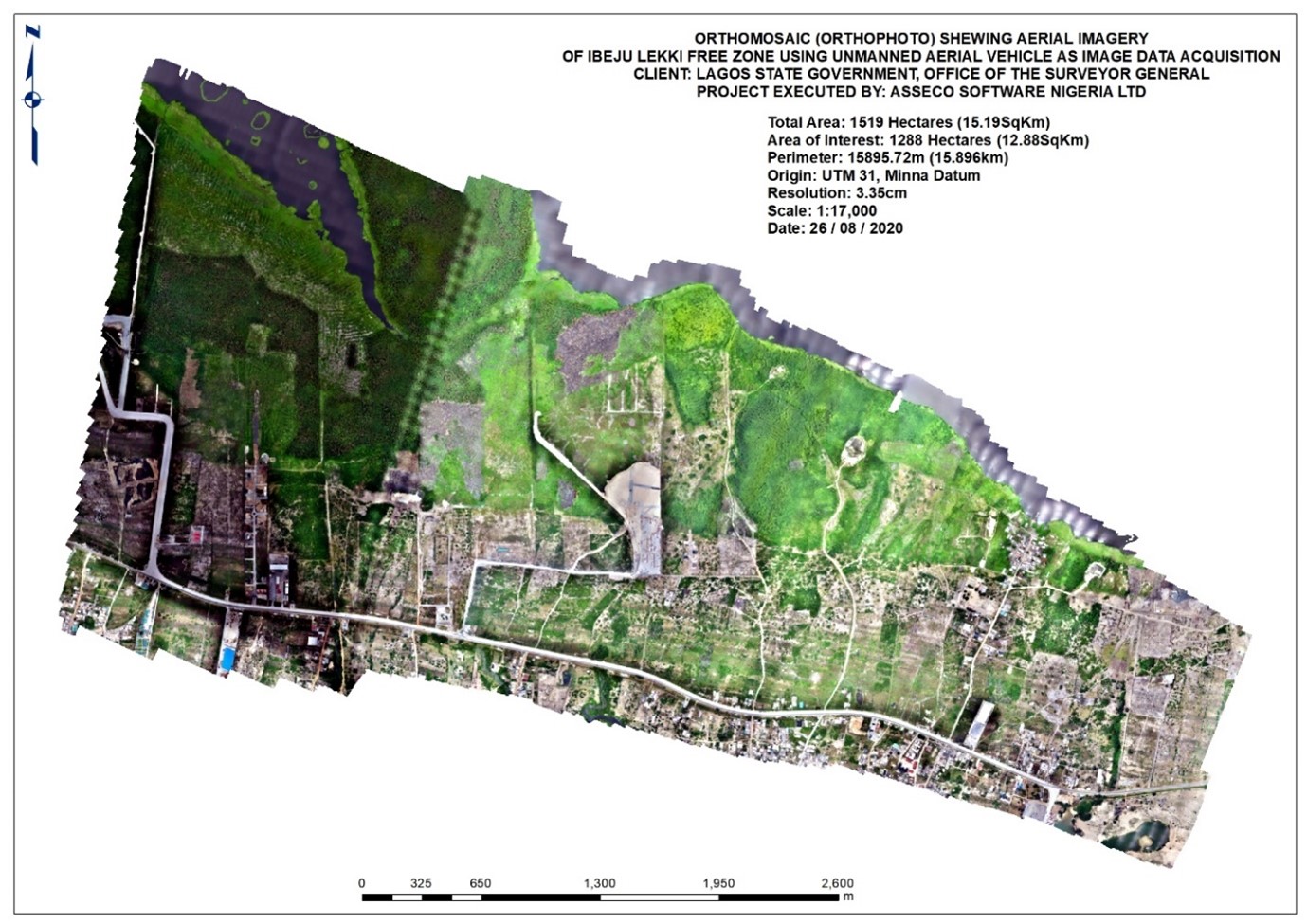
High Resolution Orthophoto of Lekki using UAVs

Asseco Software Nigeria Limited has recently concluded a mapping project to capture a portion of Lekki Free Zone and produce an Orthophoto of the area covering 1,250 hectares (12.5km2), at a resolution of 3.35cm.
The project was executed using a multirotor Unmanned Aerial Vehicle for acquisition of data. The Orthophoto will be used for planning purposes by the Government.